|
Follow in the footsteps of Winston Churchill, with a circular tour around the birthplace of Operation Overlord.
|
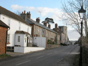
| Red Lion and St James Church, Southwick |
From the M27 exit Junction 10. From the west you will need to turn around at junction 11, to exit at 10. Pick up the
A32 and head north towards Wickham. Passing Wickham at the church crossroads, turn right onto the North Boarhunt road, B2177.
Just after the Southwick roundabout, you will be able to park your car in a lay by on the left.
The walk starts from the lay by, and follows along the grass verge of the main road, eastbound. Soon a path leads off
to your left, over a style and along the edge of a field running parallel to the wall of Southwick Park, (HMS Dryad), where
the plans of Operation Overlord, (D Day Invasion), were hatched by Churchill and Eisenhower.
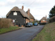
Emerging onto a small tarmac lane, bear left to pass Comphouse
Farm and cross over a stream, before reaching a T junction with the Denmead road.
|
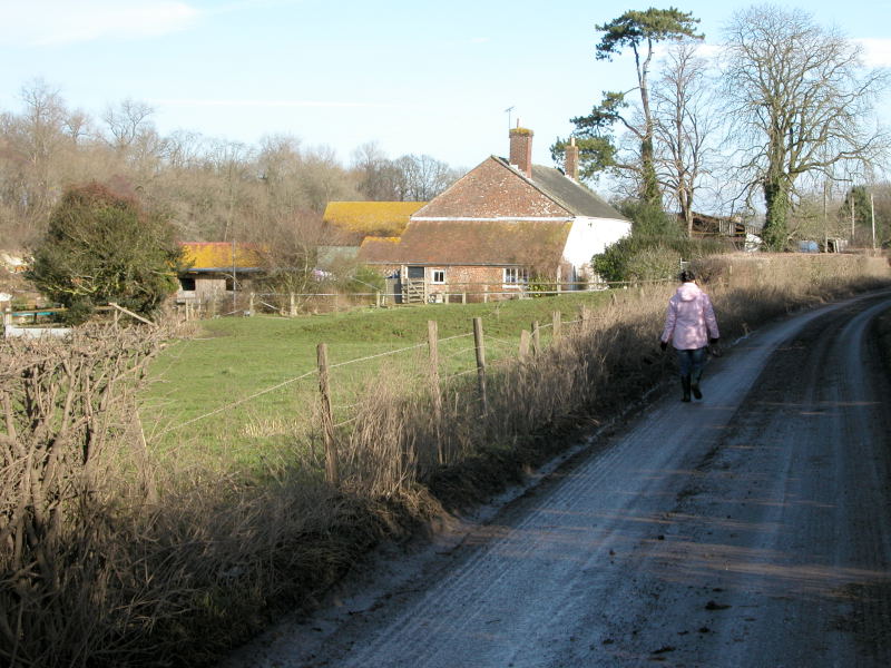
| Comphouse Farm |
Turn left onto the Denmead road, and continue towards the buildings a couple of hundred yards away. Just short of those
buildings to the left is a farm track, which you follow as it bends to the right passing a corrugated iron cow shed, into
the farmyard of Wanstead farm. Your footpath passes to the right of the farmhouse towards Place Wood.
|
|
|
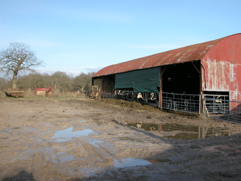
| Wanstead Farm cowshed. |
At the edge of Place Wood, mount the bank on your left, to find your new path running between wire fences at
the edge of the wood. Soon cross a style into the field on your left, and follow the field edge before re entering the wood
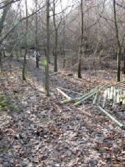
via another style. The path through this private wood is very well marked, with bright paint splashes on the trees and posts.
A good thing too as we could hear gunshots nearby and we had no desire to be mistaken for Pheasants ! After crossing over
a rough vehicle track, continue along your path, well defined but not now paint splashed, untill you come to yet another part
of the Southwick Park wall. Bear right and head up onto another lane, which you turn left onto.
|
| Place Wood pheasant country ! |
On the left is some smart naval housing in Boulter Lane. Continuing however on your original lane, you will soon
come to a bridleway on the right, following this narrow little bridleway between high hedges, you dip down to a stream, where
you have the choice of fording it or crossing over the footbridge. Widening out now your path soon reaches the tarmac approach
to Mitchelland Farm. Turning left to walk away from Mitchelland Farm you pass Vernons Farm on your left, before reaching Common
lane, onto which you turn right. Continue along the lane, then take the next footpath on the left, via a style on
a slight ridge, keep to this path all the way toward Walton Heath, ignoring another path through a field to your right, until
you reach a broken tarmac track forming a T junction with your path.
|
| Church tower of St James in distance. |
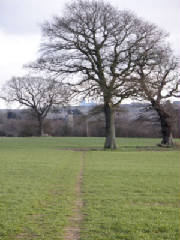
Turn left onto the broken tarmac, and follow the path as it bears left through the scrub to emerge into an open
field. An obvious path points the way through a stand of trees towards the distant church tower of St James in Southwick,
and the MOD radar installations on Portsdown Hill beyond. Crossing Common Lane once more, enter another field with an equally
obvious path, which you follow before emerging between houses onto Back Lane, in Southwick.
|
| Back Lane Southwick |
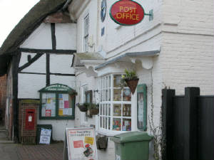
Turn left onto Back Lane, passing some thatched cottages before reaching the High street junction, where you
must turn right into the High Street. Here you will find the Red Lion pub, followed by the Church of St James, a very good
Post Office store and just for good measure, another pub, the Golden Lion. From here it's just a short walk to the end of
the High Street, over a bridge, to the roundabout, where you turn left to return to your car in the lay by.
|
| Southwick Post Office |
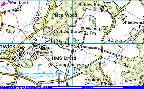
Map of the area, courtesy of Multimap.
|
